Presentation of the project “Geographical Information and Navigation System for Tourism”
19.04.2011Assembly hall
Opening time: 16:00
Organizer: Ministry of culture and tourism
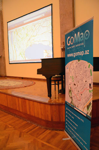
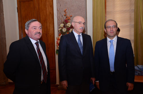
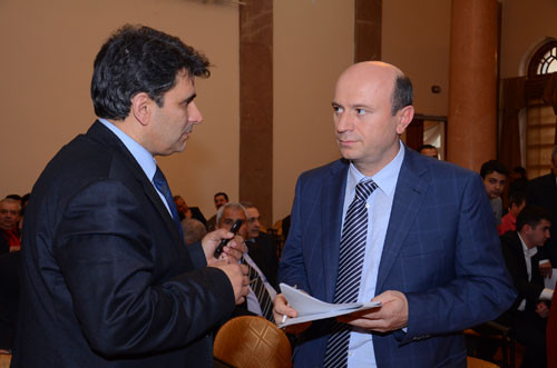
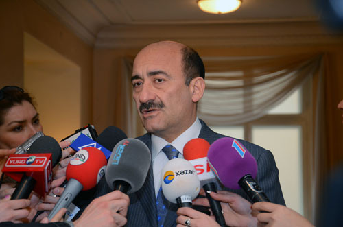
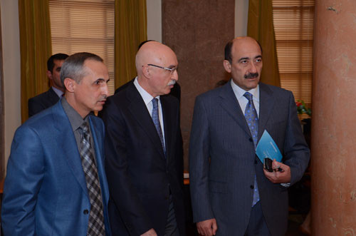
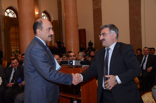
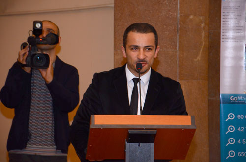
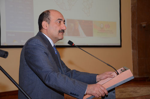
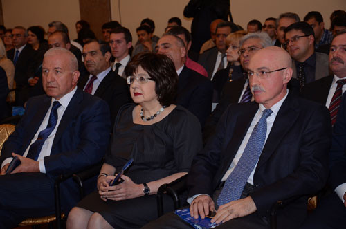
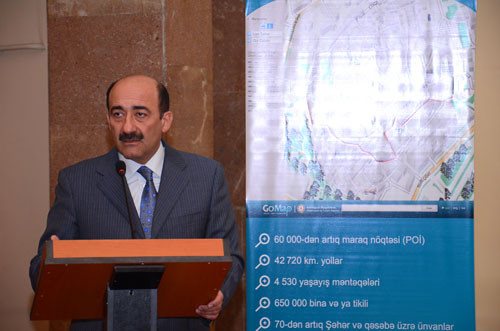
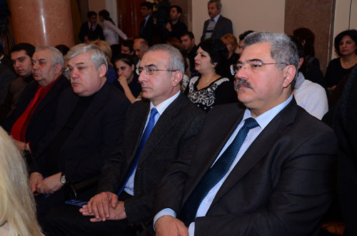
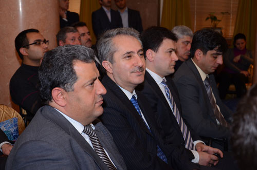
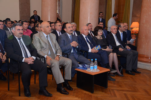
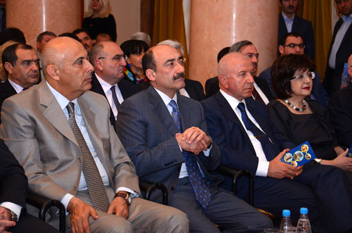
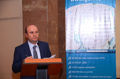
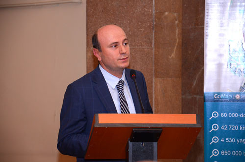
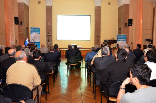
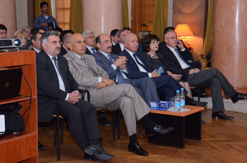
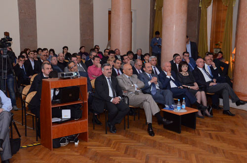
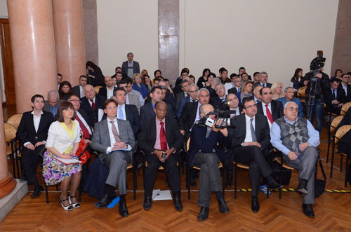
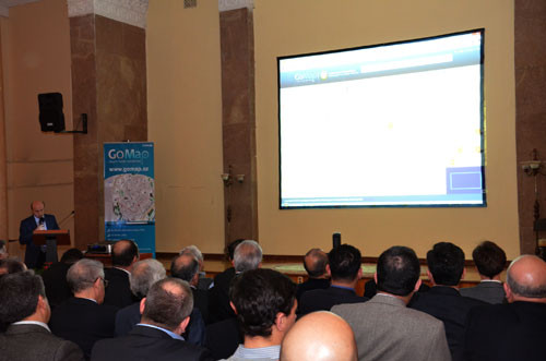
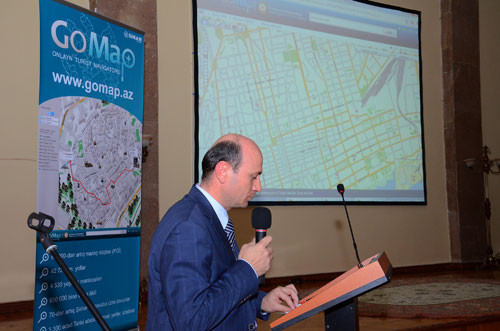
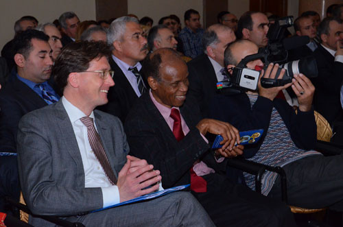
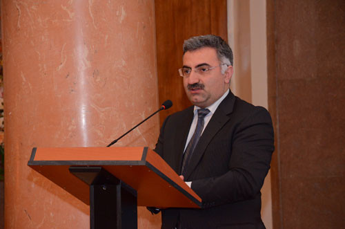
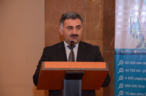
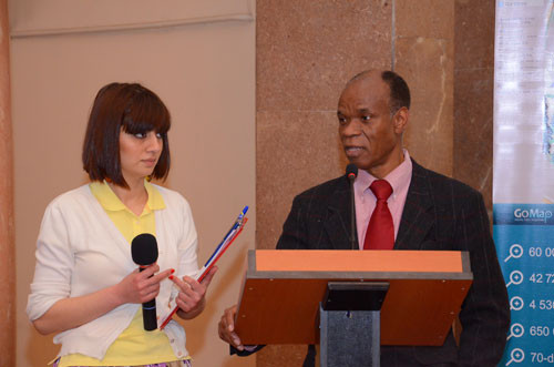
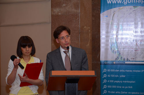
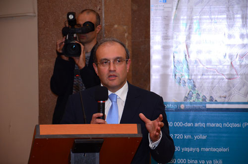
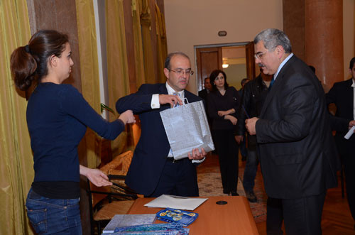
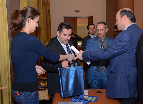
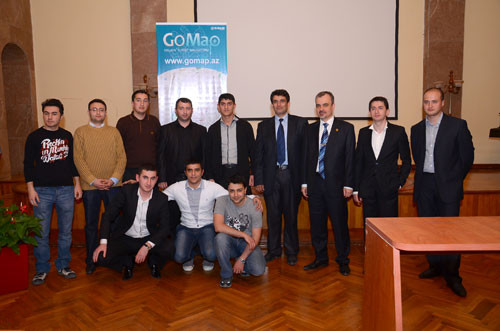
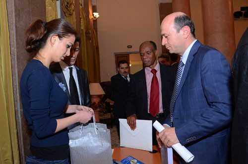
On 19 April 2011 an event dedicated to the GoMap.az Online Tourism Navigation Website was held in the Assembly Hall of the Museum Centre. The GoMap.az website, which offers services and functions distinctive from others in the region, and indeed from those in many other countries, was created following a deep analysis of current global geographical information systems. It was created upon the initiative of the Ministry of Culture and Tourism as part of the project, ‘Geographical Information System (GIS) and Navigation for Tourism’. The purpose of the project was to create an electronic map and navigating system in the country to develop tourism. Created in the Year of Tourism declared by President Ilham Aliyev, it is a contribution to both visitors and residents. The electronic map system, which meets all world standards and has no peer in the region, was created by the professionals of the Azerbaijan SINAM company, one of the leading system integrators in the Trans-Caspian region. 70 cities, 4,530 settlements, 3,300 cultural-historical sites, 670,000 buildings, 43,000 km of highways (including traffic rules and signs), 23,770 km greenfield sites and forests and others have been included on the electronic map of the National Electronic Tourism Navigation System. This information is in plan form and 3D format on the map. Photographs of cultural-historical sites are also to be found. The website map, which is available in the Azerbaijani, Russian and English languages, can be increased to the scale of any building. It is also possible to integrate with other systems of this type (for example: ‘Google Satellite’). It also has a GPS-navigation system. This system can be used to plan journeys for both vehicles and pedestrians along any route through the different regions of Azerbaijan. All roads and traffic signs have been included in the GPS navigation system for drivers. There is also an online tracking function. It is possible to check tourist routes, tourists, people moving in the mountain-skiing areas etc. via the satellite observation system with online tracking. It is also possible to locate people exactly in emergency situations (accidents).
In short, the Azerbaijan Tourism Navigation Website is a guide that is always available to help, and is an advisor for anybody who comes to Azerbaijan today and wants to visit its places of interest.